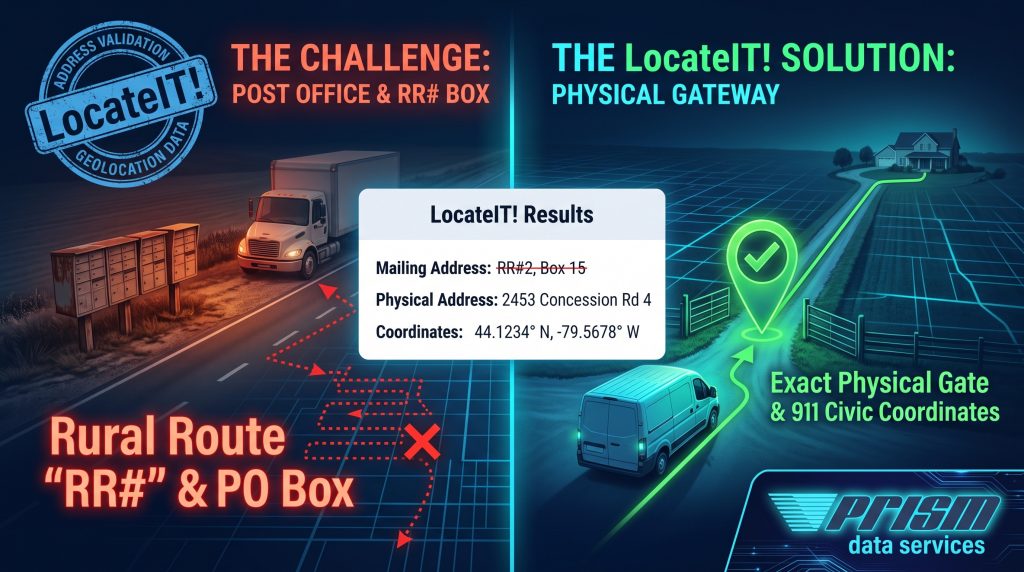
Solving Rural Delivery: Convert Mailing Routes to Physical Geolocation
For logistics and field service teams, rural mailing formats like Rural Routes (RR#2) or PO Boxes aren’t navigable destinations. Standard GPS tools often drop pins at community mailboxes or broad postal centroids, causing missed deliveries, wasted fuel, and carrier return fees.
LocateIT bridges rural postal records with physical ground truth:
- 911 Civic Address Resolution: Translates rural mailing identifiers into verified Canadian street, concession, and emergency civic numbers.
- Driveway-Level Geocoding: Appends exact latitude and longitude coordinates anchored directly to the physical property gate—not a post office.
- API & Batch Integration: Validate rural addresses live at checkout via RESTful API or cleanse legacy customer databases in Batch.
Eliminate rural delivery exceptions and route your fleet straight to the property entrance.
👉 Explore LocateIT Address Validation & Geolocation Solutions →